Hello to all, I’m a student new to Geant4,
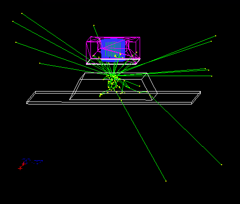
I have created a trapezoid representing uranium contaminated soil (Logical Volume name: Soil) in order to analyse the efficiency of my HPGe detector design, I would like to distribute the particle source through all the soil volume, for that I’m using the following commands:
/gps/pos/type Volume
/gps/pos/confine Soil
/gps/ene/mono 185.7 keV
/gps/particle gamma
/gps/ang/type iso
But when I run it, the particles are not distributed, (image attached) . Any hints on how should I deal with this?
Thank you very much in advance.